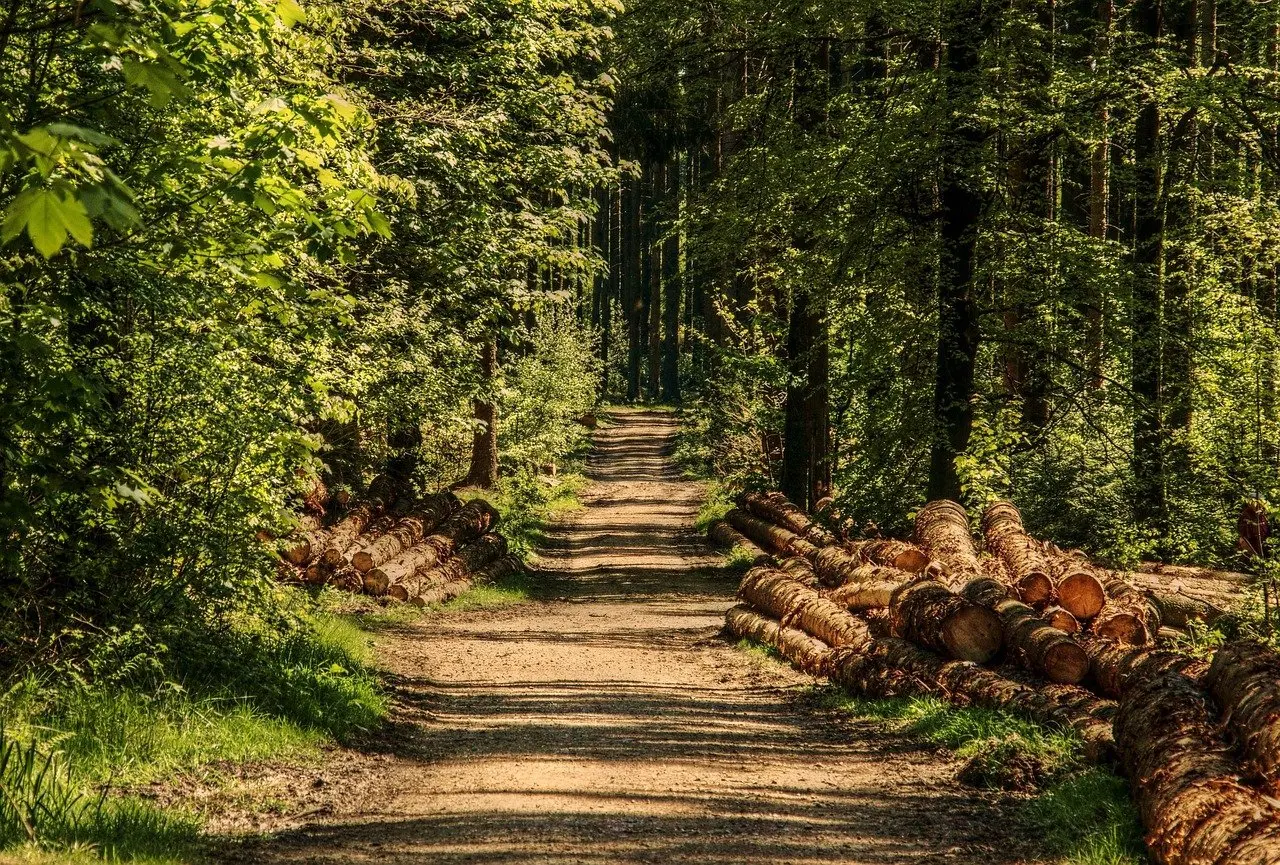
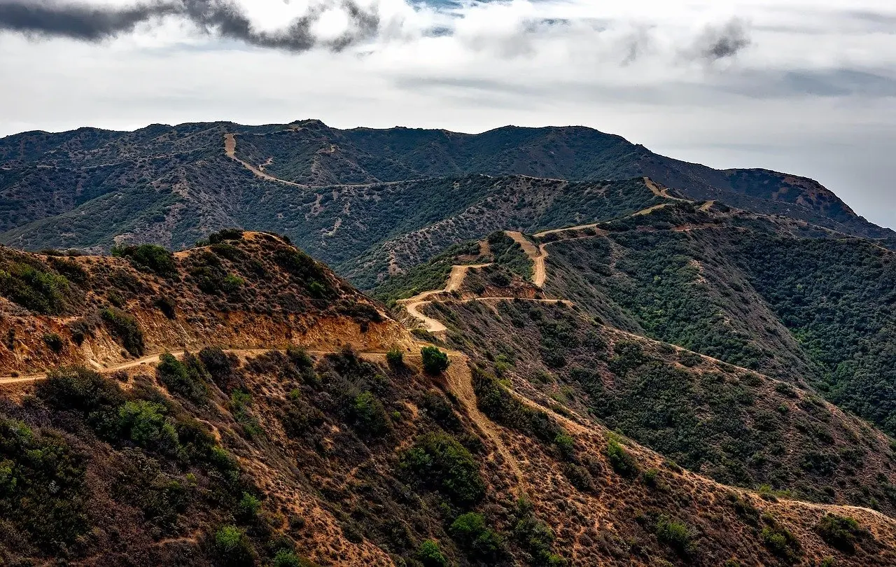
A runner expecting smooth forest paths will find something rougher: cevennes trail running terrain combines granite highlands with schist-covered ridges and deep valleys, so plan for uneven footing and long climbs and descents rather than steady, even running.
This page explains what the rock and trail surface do to a runner and how that shapes gear choices. For race formats and routes, see the guide to cevennes trail races.
Granite and schist underfoot
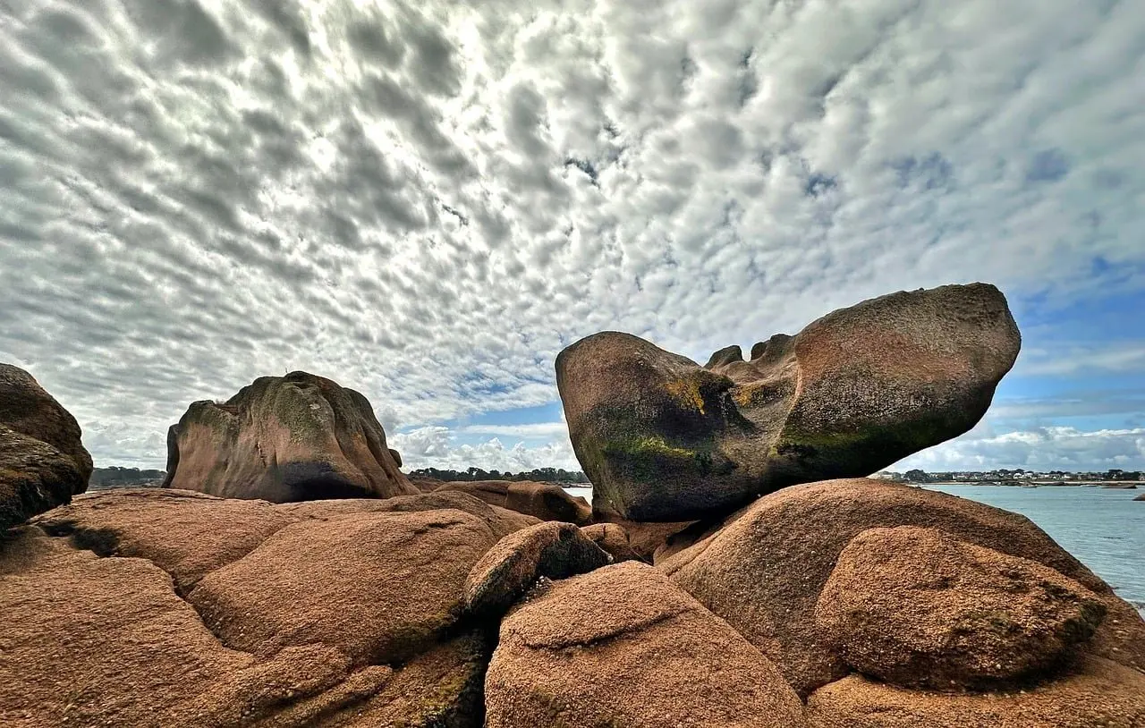
Cevennes National Park does not have one uniform surface. Lozère Tourisme describes the park as running from the granitic highlands of Mont-Lozère to the schist-covered Cévennes with their jagged ridges and deep valleys. The rock type therefore tells a runner what kind of day to expect before the first kilometre.
| Aspect | Granite highlands (Mont-Lozère) | Schist-covered Cévennes | Planning use |
|---|---|---|---|
| How the park describes it | Granitic highlands | Jagged ridges and deep valleys | Look at the route profile and the rock type together before choosing a race or a training loop. |
| Landscape shape | Open high ground | Sharp ridgelines dropping into valleys | Highland routes suit steadier pacing. Ridge-and-valley routes demand repeated climbing and braking. |
| What it means for footing | Expect rock outcrops and exposed ground at altitude | Expect an irregular surface on steep sides | Prepare for a surface that changes underfoot, not a single even tread. |
The descriptions in this table come from the park summary published by Lozère Tourisme; the planning column is practical judgement built on them.
The practical difference is the shape of the ground more than the label on the rock. Jagged ridges and deep valleys mean that a route which drops into a valley must climb out again, and the descent is usually the part that punishes tired legs. Highland granite country asks for a different kind of attention: footing on exposed rock and a long view of the weather.
Common misunderstandings about Cevennes trails
Several assumptions about the area lead runners to under-prepare. Each one is worth correcting before race day.
Low altitude does not mean an easy route
Altitude figures in this region can look modest. The 12 km Ceven’Trail route on 5 March 2022 ran between a minimum of 211 m and a maximum of 646 m, according to BeTrail’s route data. The same listing records +450 m of elevation gain over that distance. That is one race route, not a regional average, but it shows the point: a short course in modest altitude can still be a sustained climb followed by a matching descent.
Read elevation gain alongside distance rather than relying on the highest point. A runner whose training is flat should treat the gain figure as the real measure of effort.
A signposted trail is not automatically a fast trail
The park’s network covers 5,000 km of signposted trails for walking, mountain biking or horse riding, as Lozère Tourisme notes. Signposting shows where a path goes and which users it serves. It says nothing about whether the surface is runnable at pace. Treat marked routes as a route-finding aid and judge the surface from the terrain around it.
The landscape is not untouched wilderness
Many features that look natural were made by farming. The same source lists terraces, dolines, drailles and dry-stone features shaped by agropastoral activity across the park. For a runner, this means a path may follow a stone-edged line, a terrace step or a constructed wall rather than bare hillside.
- Terrace steps: expect abrupt changes in level where a path crosses or follows a terrace, so shorten stride and look ahead.
- Dry-stone edges: stones in walls and path borders can be loose, so avoid using them as handholds or push-off points while tired.
- Drailles: these traditional livestock routes are part of the cultural landscape, so expect them to fit the farming history of the hillside rather than a running line.
Technical running on rock and loose stone
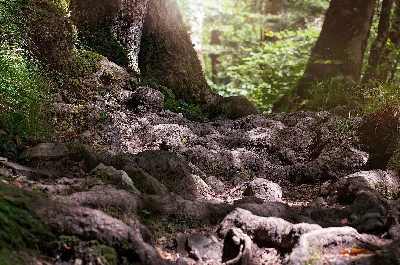
Cevennes trail running technical terrain is mostly a matter of descents. When ridges drop into deep valleys, the work shifts from breathing to braking, and loose stone makes each step less certain.
- Shorten the stride on descents: short, quick steps give more chances to correct a slip than long bounds.
- Look two or three steps ahead: irregular rock punishes a runner who watches only the next footfall.
- Save legs for the valley floor: a route that climbs out of a valley rewards controlled descending, because the climb comes immediately afterwards.
Walkers describe the same ground as rocky, and cevennes hiking trails rocky enough to slow a hiker also slow a runner. Allow extra time on any section where the path is mostly stone and expect pace to fall below what the distance suggests.
Wet ground adds to the difficulty. Mossy or damp rock deserves extra caution, and seasonal rainfall changes how a route feels from one race date to another. The guide to cevennes weather for trail running covers what to expect through the year.
Choosing footwear for the ground
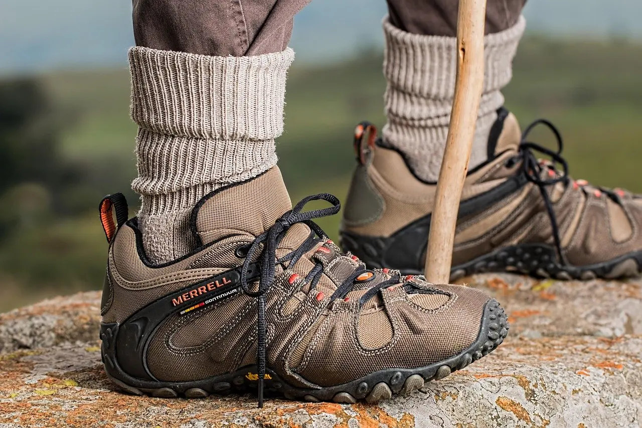
Footwear is where the terrain turns into a decision. Because the surface alternates between rock, stone and uneven ground, the outsole matters more than cushioning or weight alone. Deep lugs bite into loose material and give a firmer hold on exposed rock, which suits both granite outcrops and stony schist descents.
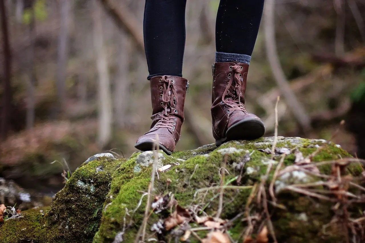
Choose by route type, not by rock name alone:
- Ridge-and-valley races: prioritise grip and a secure fit, because descents put the foot under the most strain.
- Highland granite routes: prioritise grip on exposed rock and shoes that tolerate mixed surfaces.
- Training weeks before an event: run the real shoes on stony ground so the fit is known before race day.
Before entering a race on this terrain, check the entry paperwork as well. The explanation of the medical certificate for french trail races sets out what organisers expect, which is worth sorting out early given how demanding the ground can be.
Frequently asked questions
| Question | Answer |
|---|---|
| How large is Cevennes National Park? | The core area of the park covers 937 km² and the park was established in 1970, according to Lozère Tourisme. |
| Are there any easy trails in the park? | Yes. The park’s heritage interpretation trails are generally accessible and easy to follow, and they can be completed in under two hours, so they suit an easy outing or a first look at the landscape. |
| Which matters more for planning, rock type or elevation gain? | Elevation gain gives the clearer measure of effort, while rock type indicates the surface. Use the two together: the gain figure for the workload and the landscape description for footing. |